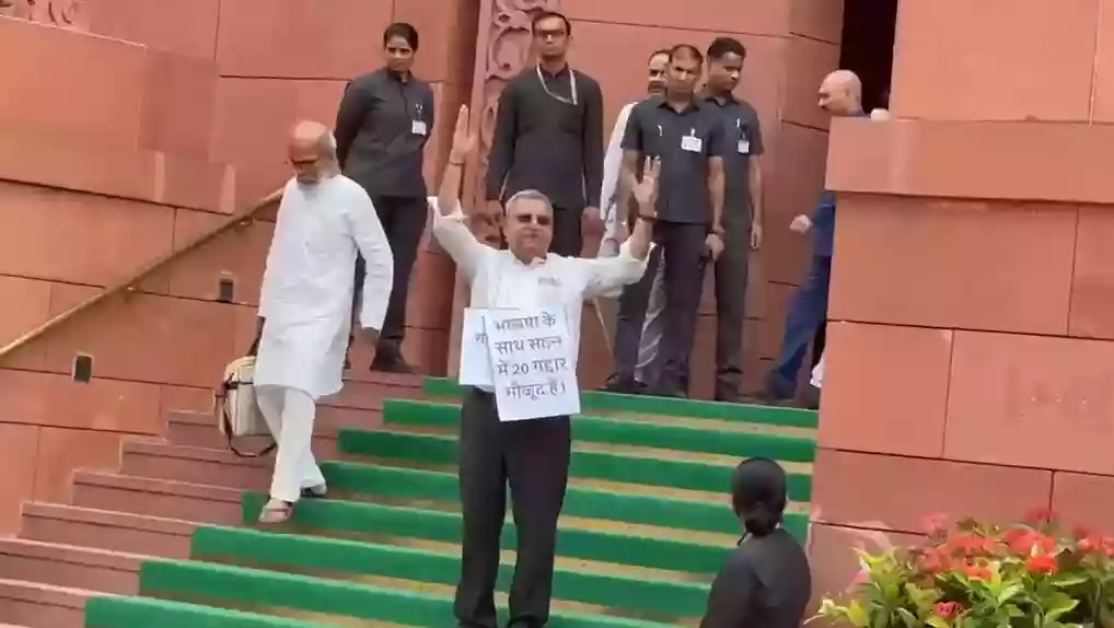
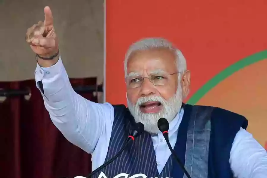
'BJP ke saath 20 gaddar': Kalyan Banerjee stages solo protest in Parliament
.gif)

Download Mobile App 






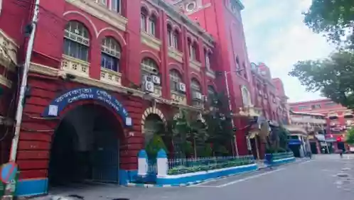
The Kolkata Municipal Corporation (KMC) delimitation proposal suggests splitting several large wards across the city into smaller administrative units to address high population density and expansive geographical coverage. Under the new plan, Ward 58—which spans over 10 square kilometers and includes Tangra, Dhapa, and parts of the East Kolkata Wetlands—is proposed to be divided into eight separate wards. According to the 2011 census, Ward 58 currently records a population of 88,465 residents.
Several other densely populated and geographically vast wards are also marked for significant division. Wards 66 (covering Topsia, Tiljala, and Paschim Chowbhaga), 108 (Madurdaha to Sonarpur), 109 (Mukundapur to Sonarpur border), and 142 (large parts of Joka) have been proposed to be split into six to eight smaller wards each. Based on official census figures, Ward 66 holds 98,024 residents, while Wards 108 and 109 have populations of 64,777 and 64,567, respectively.
In addition, smaller-scale restructuring is planned for central and port-side sectors. Wards 78 (covering Ekbalpore, Mominpore, and parts of Kidderpore) and 80 (SP Mookerjee Port zone) are expected to be divided into four or fewer wards. Official census records highlight that Ward 78 accounts for 54,090 residents, reflecting the need to streamline administrative management across varying population zones.


.webp)

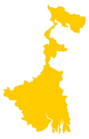 West Bengal
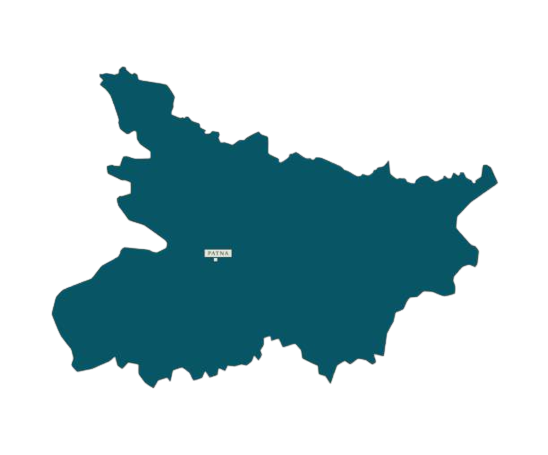 Bihar
Bihar Uttar Pradesh
 Jharkhand