
Police removes Rahul, Priyanka, other Congress leaders from dharna site near PM Modi's residence
.gif)
Download Mobile App 


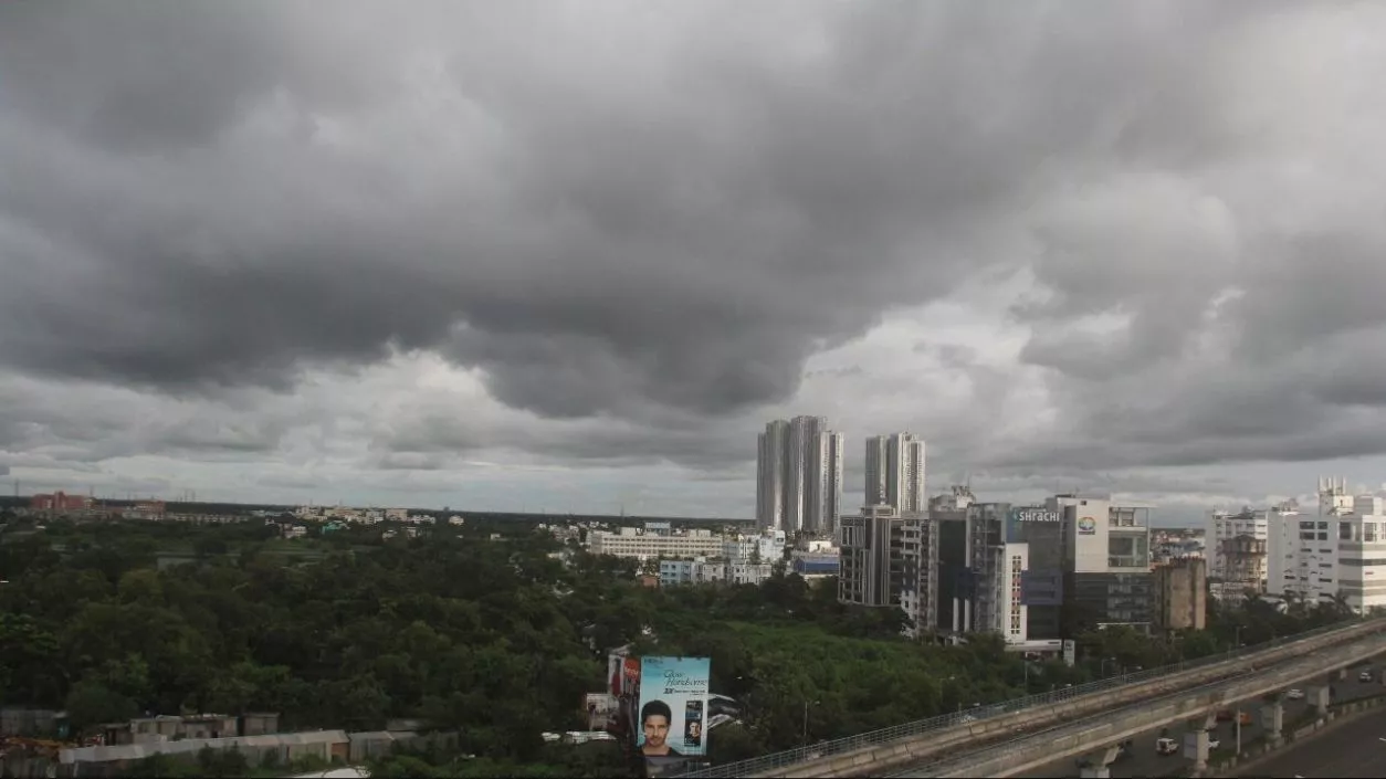
The low-pressure area that had formed over the Bay of Bengal has shifted towards Jharkhand and its adjoining regions. This has resulted in a slight decrease in the intensity of rainfall in South Bengal districts. However, rain activity will continue in the region. Light to moderate rainfall accompanied by thunder and lightning is likely in parts of South 24 Parganas, East Midnapore, and Kolkata on Friday.
The low-pressure system is currently linked with the monsoon trough stretching from Digha to the northeast Bay of Bengal. In total, four monsoon trough lines and three cyclonic circulations are active across the country, which are maintaining instability in the weather conditions over West Bengal. Due to these systems, several districts in South Bengal are expected to receive scattered rainfall.
Districts including East and West Burdwan, West Midnapore, Bankura, Purulia, Birbhum, and Murshidabad are likely to receive light to moderate rainfall in scattered areas. The sky is expected to remain partly cloudy in several regions. Thunderstorms accompanied by lightning are also likely in isolated locations.
In Kolkata, the minimum temperature recorded on Friday was 26.1°C, which is 0.8°C below the normal level. The maximum temperature on Thursday stood at 29.6°C, which is 3.2°C below normal. In the last 24 hours, the city recorded 17.2 mm of rainfall. Humidity levels remained between 89% and 98%. The temperature is likely to range between 26°C and 31°C in the next 24 hours.
In North Bengal, a fresh spell of heavy rainfall is expected to begin from Sunday. Warnings have been issued for Jalpaiguri, Alipurduar, North Dinajpur, South Dinajpur, and Malda districts over the next three to four days. On Friday, the rainfall intensity and spatial coverage in these districts are expected to remain comparatively lower. An alert has also been issued across the state regarding lightning, with advice for people to remain cautious and indoors during thunderstorms.


.webp)


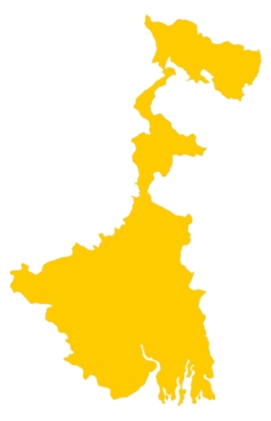 West Bengal
 Bihar
Bihar Uttar Pradesh
 Jharkhand