
Tragic firing at BSF camp in Malda leaves 2 jawans dead, 1 critically injured
.gif)
Download Mobile App 


The southwest monsoon has remained stalled over Bhadrachalam in Telangana since June 8, delaying its advance into several parts of northern and central India. The prolonged pause marks the third consecutive year that the monsoon has experienced a significant June break. As of June 17, the country has recorded rainfall that is 37.8% below normal, raising concerns over the delayed onset of seasonal rains across key agricultural regions. While the monsoon usually reaches Madhya Pradesh by June 15–16, Uttar Pradesh between June 18 and 20, and Rajasthan by June 20, it is now expected to arrive in these states only after June 22.
After making landfall in Kerala on June 4, the monsoon advanced rapidly across 19 states within 13 days before losing momentum. According to weather officials, conditions are likely to become favourable for renewed advancement over the next four to five days, resulting in a total break period of around 13 to 15 days. Meteorologists attribute the slowdown partly to weak activity in the Intertropical Convergence Zone (ITCZ), which normally shifts northward by mid-June and helps pull moisture-laden winds across the Indian subcontinent. Forecasters are also monitoring emerging El Niño-like conditions, which can contribute to prolonged dry spells and uneven rainfall distribution.
The delayed monsoon has coincided with persistent heat across several states, including Madhya Pradesh, Uttar Pradesh, Bihar, Jharkhand, Odisha, Andhra Pradesh, Telangana and Maharashtra. Temperatures crossed 40 degrees Celsius in many locations. Prayagraj recorded the highest temperature in the country at 45 degrees Celsius, while Brahmapuri and Varanasi reported 42.8 degrees Celsius. Other major readings included Boudh at 42.7 degrees Celsius, Daltonganj at 42.4 degrees Celsius, Ramagundam at 42 degrees Celsius and Khajuraho at 41.4 degrees Celsius.
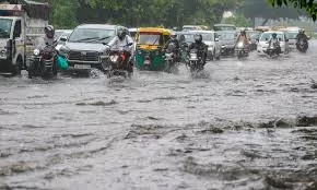
Weather forecasts indicate rainfall activity is likely to increase over eastern and northeastern India. On June 19, rain is expected across Bihar, Jharkhand, Odisha, West Bengal and Sikkim, while heavy rainfall is likely in Assam, Meghalaya, Arunachal Pradesh, Tamil Nadu, Puducherry and parts of Karnataka. Strong winds reaching 50 to 70 kilometres per hour may affect parts of Bihar. On June 20, heavy rainfall is forecast for Sikkim, North Bengal, Assam and Meghalaya, while thunderstorms and gusty winds are expected across Rajasthan, Madhya Pradesh, Jharkhand, Odisha and West Bengal. Rainfall is also likely to continue in parts of Tamil Nadu, Puducherry, Karnataka and Maharashtra.
The India Meteorological Department has stated that upper-atmosphere jet stream patterns are currently restricting the monsoon's progress. Once these winds weaken, monsoon circulation is expected to strengthen and advance into Maharashtra, Karnataka, Chhattisgarh and adjoining regions. State-specific forecasts indicate monsoon arrival in Rajasthan after June 25, while eastern Uttar Pradesh may receive the first monsoon showers between June 20 and 25 through Sonbhadra and Ballia. Madhya Pradesh is expected to see monsoon onset between June 22 and 24. Meanwhile, Himachal Pradesh has been placed under an orange alert for heavy rain, thunderstorms and hailstorms, while Punjab and Haryana remain under weather alerts for rain, thunderstorms, lightning and dust storms over the coming days.


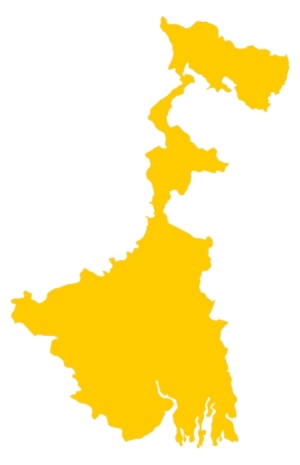 West Bengal
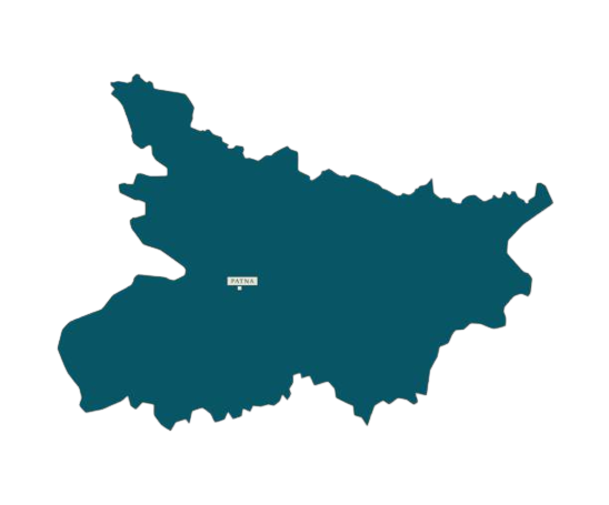 Bihar
Bihar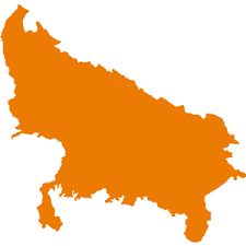 Uttar Pradesh
 Jharkhand