
Mamata Banerjee, Omar Abdullah to hold high-stakes meet at Nabanna on July 10
.gif)
Download Mobile App 


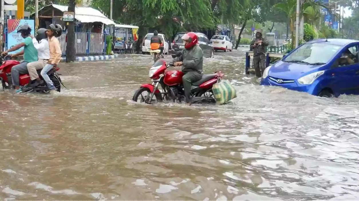
Several districts of South Bengal are likely to receive heavy to very heavy rainfall over the next three days due to a low-pressure area and an active cyclonic circulation over Gangetic West Bengal. According to the weather department, the system is expected to move gradually towards Jharkhand and northern Chhattisgarh within the next 48 hours, influencing rainfall activity across the region.
The monsoon trough currently extends from Bathinda in Punjab to the north Bay of Bengal via Rohtak, Kanpur, Daltonganj, and Gangetic West Bengal. The axis of the trough passes through the center of the low-pressure area. The monsoon remains active in the state, contributing to continued rain and thunderstorm activity throughout the week in Kolkata and other districts of South Bengal.
Heavy to very heavy rainfall—ranging between 7 to 20 cm—is expected in North and South 24 Parganas, East Burdwan, Hooghly, Bankura, and West Midnapore from Tuesday afternoon to Wednesday morning. An orange alert has been issued for these six districts. Rainfall between 7 to 11 cm is likely in other southern districts, accompanied by gusty winds blowing at speeds of 30 to 40 km/h.
For Wednesday, heavy rain is also forecast in West Burdwan, Purulia, Jhargram, and Bankura. The remaining districts in South Bengal may witness light to moderate showers with occasional thunder. The weather department has indicated that there is no likelihood of significant improvement in weather conditions across South Bengal before the next Monday.
The sea is expected to remain rough along the coastal areas of West Bengal and Odisha due to the low-pressure system. The advisory remains in place for the next 24 hours, warning fishermen against venturing into the deep sea for fishing operations.
.jpg)


 West Bengal
 Bihar
Bihar Uttar Pradesh
 Jharkhand