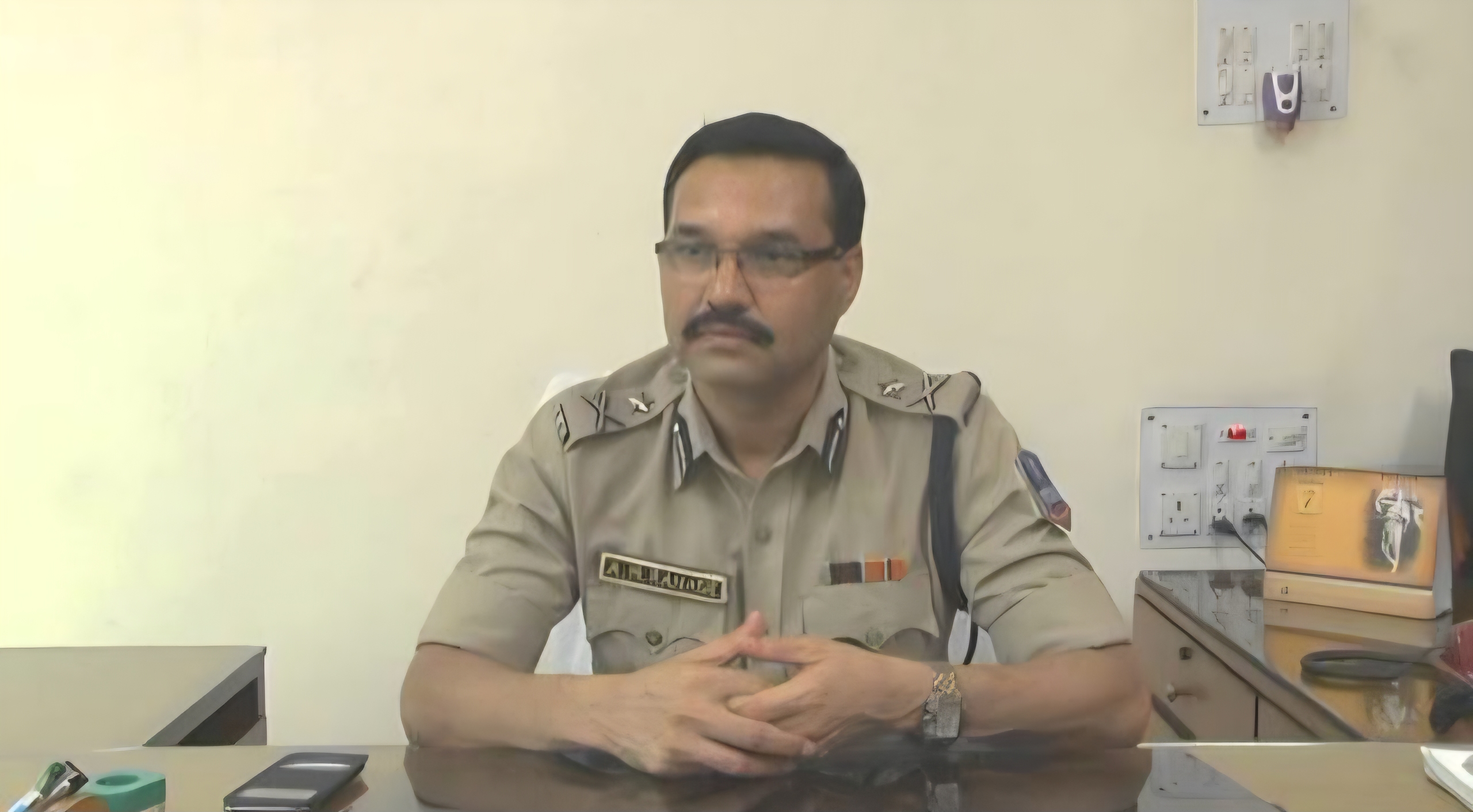
Bengal Govt elevates IPS Ajay Mukund Ranade to DGP (Law and Order)
.gif)
Download Mobile App 


Several districts of South and North Bengal continued to receive heavy rainfall on Tuesday, disrupting normal life and prompting alerts across the region. Rain began in Kolkata and nearby districts early in the morning and persisted through the day, affecting daily routines, transportation, and local movement.
According to the weather department, a trough formed over northwest Madhya Pradesh has merged with an existing low-pressure area over northern Bangladesh. As a result, a fresh low-pressure system is likely to develop over the northern Bay of Bengal. This weather condition is expected to sustain heavy rainfall over South Bengal for the next 48 hours.
On Tuesday, districts including Howrah, Hooghly, West Midnapore, Bankura, South 24 Parganas, and West Burdwan were likely to receive heavy rainfall accompanied by winds reaching speeds of 30 to 40 kmph. A warning for intense rain has also been issued for other districts. For Wednesday, forecasts indicate moderate to heavy, and in some areas, very heavy rain in Kolkata, Nadia, Murshidabad, North and South 24 Parganas, and East Midnapore. Some areas may experience waterlogging and flood-like conditions until July 31.
In North Bengal, all districts are expected to receive rain on Tuesday, with heavy showers likely in North Dinajpur, Jalpaiguri, and Darjeeling. Rainfall is expected to intensify from Wednesday onwards. On Thursday and Friday, districts such as Darjeeling, Kalimpong, Alipurduar, and Jalpaiguri are expected to experience heavy rain, while other districts may receive light to moderate rainfall. Saturday may bring further increase in rain intensity in the region.
In Kolkata, cloudy skies and light to moderate rainfall were recorded on Tuesday, with the day’s maximum temperature hovering around 30°C. The rainfall is expected to continue on Wednesday. As of now, the Kolkata Municipal Corporation area has recorded 31 percent above-normal rainfall for this monsoon season.


.webp)


 West Bengal
 Bihar
Bihar Uttar Pradesh
 Jharkhand