.gif)
Download Mobile App 


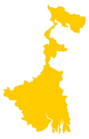
The India Meteorological Department (IMD) issued a yellow alert for Kolkata and multiple districts across Bengal on Wednesday due to intensified monsoon activity. A cyclonic circulation over West Bengal and a low-pressure trough extending from the northeast Arabian Sea to southern Bangladesh have caused widespread rainfall and thunderstorms in several regions.
The low-pressure line stretches across Gujarat, Madhya Pradesh, Jharkhand, Chhattisgarh, and West Bengal, reaching southern Bangladesh. These two active weather systems are responsible for the ongoing rain and thunderstorm activity in the state. Kolkata experienced intermittent showers since morning with overcast skies and a recorded 36 mm of rainfall in the past 24 hours.
The temperature in Kolkata ranged between 25.7°C and 30°C. Humidity levels reached a maximum of 100% and a minimum of 89%. According to the IMD, this July has recorded the highest rainfall in the last five years in the city. Light to moderate rain is expected to continue through the day in Kolkata, with warnings of discomfort due to humidity.
South Bengal districts including East and West Bardhaman, Birbhum, Murshidabad, Nadia, North 24 Parganas, and South 24 Parganas are expected to receive heavy rain and thunderstorms in the next 24 hours. Gusty winds reaching speeds of 30–40 km/h are also likely in these areas. The alert remains in place until Thursday evening.
In North Bengal, heavy to very heavy rainfall is forecast for Darjeeling, Kalimpong, and Jalpaiguri. Light to moderate rain is expected in other districts. From Friday evening onward, Alipurduar, Cooch Behar, and surrounding regions may experience intensified rainfall. Continuous downpours may cause a rise in water levels in Teesta, Torsa, and Jaldhaka rivers, with a warning of potential landslides in hilly areas.


 West Bengal
 Bihar
Bihar Uttar Pradesh
 Jharkhand