
High Court turns down plea against CID action in Signgate; even the judge recuses himself
.gif)
Download Mobile App 


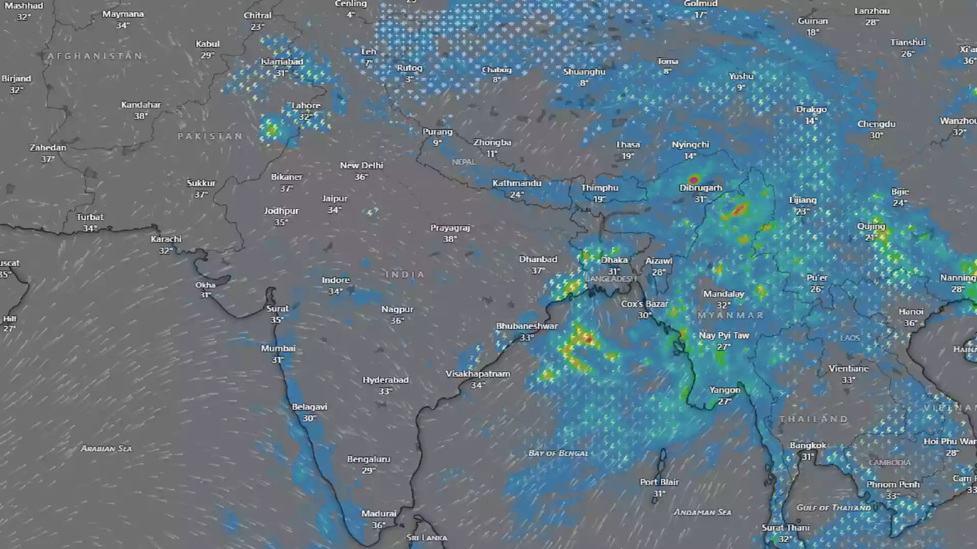
The forward progression of the southwest monsoon across the Indian subcontinent has encountered a temporary stalling phase, leaving a vast majority of the country experiencing a significant dry spell. Satellite imagery captured on June 15 revealed an absence of crucial monsoon cloud covers over major geographical expanses, indicating a distinct weakness in seasonal activities. According to statistical data released by the India Meteorological Department (IMD), the country recorded a mere 19.2 mm of cumulative rainfall between June 4 and June 15, standing in stark contrast to the historical seasonal normal baseline of 53.7 mm. This drastic gap represents an alarming 64 percent precipitation deficit for the specified monitoring interval.
Meteorological analysts have clarified that this unexpected deceleration is not triggered by a lack of marine moisture feed over the neighboring seas. Instead, the atmospheric bottleneck is being actively caused by highly unusual shifting patterns within the upper tropospheric wind currents. The Western Jet Stream has migrated considerably further south than its typical seasonal coordinate, creating a structural barrier that disrupts the low-level commercial winds responsible for driving the monsoon system inland. Consequently, despite abundant moisture reservoirs over both the Arabian Sea and the Bay of Bengal, vertical cloud development remains suppressed, causing the advancing front to stall near Maharashtra, Telangana, and Andhra Pradesh in the south, while halting around Bihar, Jharkhand, and West Bengal in the east.
As the core monsoon body takes a temporary breather, localized pre-monsoon convective systems remain highly active across several northern and central provinces, bringing erratic weather shifts. States like Madhya Pradesh, Rajasthan, Uttar Pradesh, and Bihar experienced intense localized dust storms and brief spells of heavy downpours, causing minor urban disruptions such as uprooted traffic dividers in Jaipur. Looking ahead over the next 48 hours, the IMD has placed nineteen districts in Bihar and thirty districts in Madhya Pradesh under yellow alerts for severe thunder activities. These zones are expected to witness high-velocity squalls clocking speeds between 50 and 70 kmph, which will offer transient relief from high humidity levels.
Conversely, regions awaiting the delayed system are bracing for a renewed spike in summer temperatures. The IMD has issued a severe heatwave warning for Maharashtra’s Marathwada and Vidarbha sectors, where scorching conditions are expected to persist alongside highly uncomfortable, humid nights along the Konkan coast. Over the coming four days, key agrarian states including Uttar Pradesh, Haryana, Punjab, and Uttarakhand are projected to experience a sharp thermal escalation, with maximum daytime temperatures expected to climb by 5 to 7 degrees Celsius. Meanwhile, the outer Himalayan states like Himachal Pradesh are tracking a delayed arrival blueprint, with the main monsoon wave projected to cross into the hill state only after June 20.


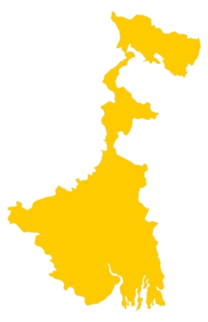 West Bengal
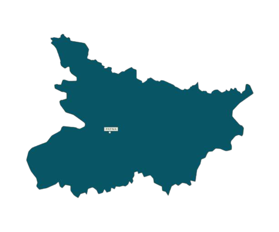 Bihar
Bihar Uttar Pradesh
 Jharkhand