Cyclonic systems trigger weather warnings across Bengal, South on yellow alert
.gif)

Download Mobile App 







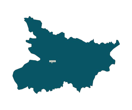
The Alipore Meteorological Department has issued a severe weather warning across West Bengal due to an active monsoon axis over Gangetic West Bengal, paired with dual cyclonic circulations situated over North Bangladesh and North-West Bihar. An atmospheric axis extending from Bihar to Bangladesh is drawing heavy moisture, triggering widespread rainfall. Consequently, an orange alert for extremely heavy rainfall has been sounded for the five northern hill districts, while a yellow alert remains active across several southern districts, threatening low-lying regions.
In North Bengal, the orange alert blankets Darjeeling, Kalimpong, Alipurduar, Cooch Behar, and Jalpaiguri, where torrential downpours present a significant risk of landslides in hilly terrains. Authorities have warned of rising river water levels, which could breach danger marks and inundate low-lying fields. Meanwhile, a yellow alert for heavy rain covers Malda, North Dinajpur, and South Dinajpur. This heavy precipitation pattern in the north is expected to persist until Tuesday before tapering off temporarily on Wednesday and Thursday.
South Bengal faces a yellow alert on Sunday, particularly in Murshidabad and Nadia, with thunderstorms and lightning predicted for all remaining southern districts. Gusty winds and heavy rain are expected to intensify between Monday and Tuesday. While a brief respite is anticipated on Wednesday, rain intensity will surge again on Thursday, coinciding with the Rath Yatra festival. On Thursday, a heavy rain yellow alert will target Howrah, North and South 24 Parganas, and East and West Medinipur, alongside a moderate rain forecast for Kolkata. The wet spell will extend into Friday, shifting heavy rainfall warnings toward Purulia, Bankura, Jhargram, and the coastal zones.

.webp)

.webp)



 West Bengal
 Bihar
Bihar Uttar Pradesh
 Jharkhand